TRANS BHUTAN TRAIL
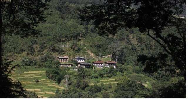
The Trans Bhutan Trail begins in Pelela, a mountain town at 3,407 meters above sea level. After a steep ascent, the trail then passes through lush meadows and passes by yak herder camps. It also passes through a traditional farmhouse in Rukubji, a small village known for its unique language.
To travel on the Trans Bhutan Trail, you must hire a guide who speaks the local language. Your guide will be able to interpret the many dialects spoken throughout the country. You’ll also get tea breaks and snacks at your campsite. In order to get the best experience, make sure to apply for a Bhutan visa in advance.
While you’re in Bhutan, remember to bring a reusable water bottle and water purifier. Most of the Trail’s restaurants and homestays serve local organic food, which is great for the environment. The Trans Bhutan Trail also works to minimize its carbon footprint by providing hikers with filtered water and refillable water bottles. As part of its commitment to sustainability, the trail also works with the local community and plants a tree for each international visitor.
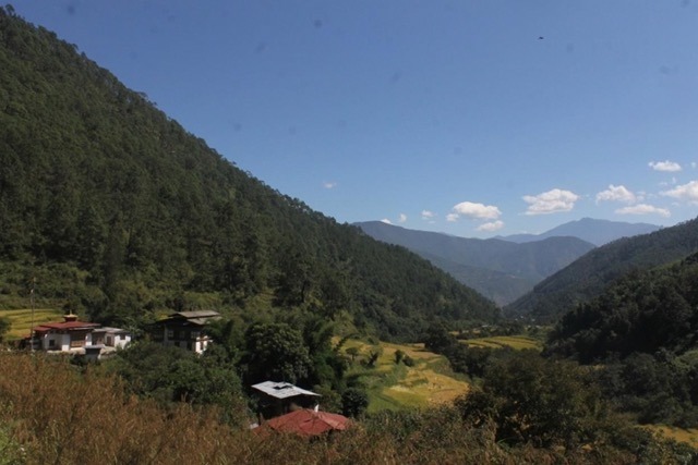
The Trans Bhutan Trail is an excellent way to see the country’s natural beauty. The trail passes through subtropical forest and alpine tundra. It is home to over 200 species of mammals. It also passes through the towns of Punakha and Paro, as well as the capital, Thimphu.
DAY 1 (SEMTOKHA TO TOEBESA THINLEYGANG)
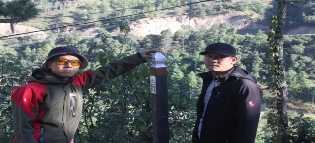
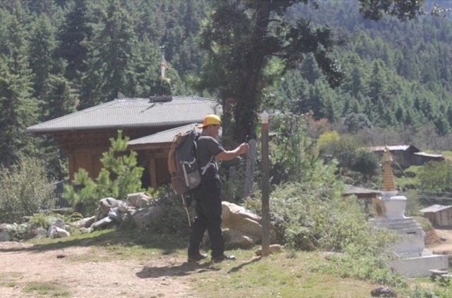
On Saturday (15-10-22 to 16-10-22) Our company organized a trip for the Trans Bhutan trail from Thimphu to Punakha led by Guide Jamyang. The trek team comprised 3 travel guides. This trek was part of our profession and our team always wanted to explore this route since it has been restored recently to its former glory.
Before 1960s, before the transportations roads were built, for generations this ancient trail (Trans Bhutan trail/ Zhung Lam) was made used by locals for barter and Wola (labor tax), messengers, ancient warriors, and this trail is used by central monastic body to migrate from Punakha to Thimphu during summer and vice versa during winter and the most importantly this trail is used by Lam Drukpa Kuenley (Divine Madman).
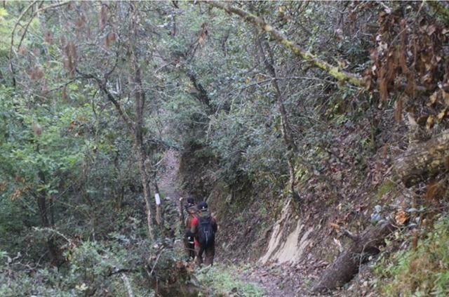
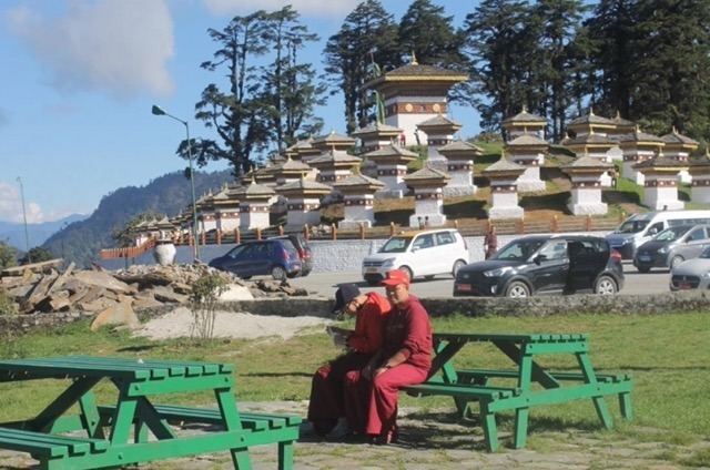
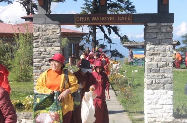
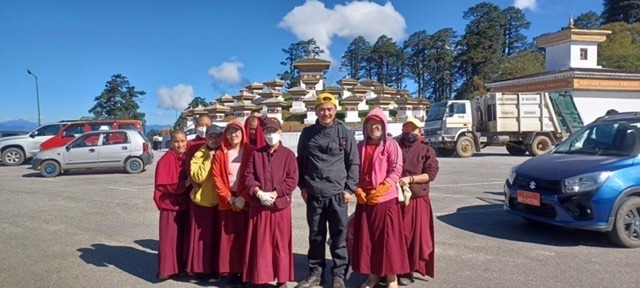
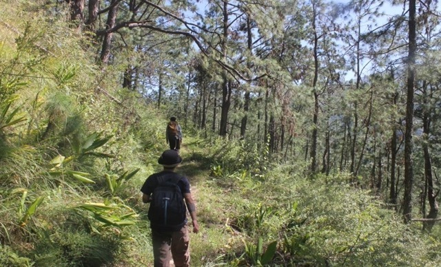
The day was clear on that day, after packing our lunches and gears, we started our trek at 8: 15am from Semtokha road and descended from there to the river. After reaching the river the trail gently rises and keeps ascending until Dochula Pass. For the most part of this trail, we went along on the sides of the river under the shades of the trees. We crisscrossed the same river 6 to 7 times before the ascending part of the Dochula started. During this trail the vegetation of the forest changes from mostly pine trees and Chir-pine to rhododendron and Hemlock and oak, also temperature declines faster as we ascend towards Dochula depending upon the weather. When we reached Dochula pass, the gain in the elevation was 880m and it took around 5 and half hours to reach there. There at Dochula after having some snacks and coffee at the café we visited Druk Wangyel Chorten, Druk Wangyel Lhakhang and Druk Wangyel Tsechus spot.
After that we began descending down the valley towards Toebesa Thinleygang since we have booked a homestay there. This part of trail belongs to the larger trail used by The Divine Madman Drukpa Kuenley to spread the dharma teaching by suppressing evil energies and fulfilling his legacy. On this trail also, as we descended, the vegetation started changing from alpine to subtropical vegetation and so did the temperature, it started increasing. On the way we had lunch at Lampari bit late but after seeing the view from there we thought it was all worth it. We reached the homestay after trekking for almost 7 hours.
DAY 2 (TOEBESA TO PUNAKHA DZONG)
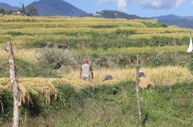
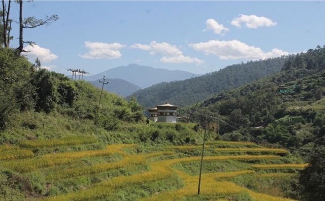
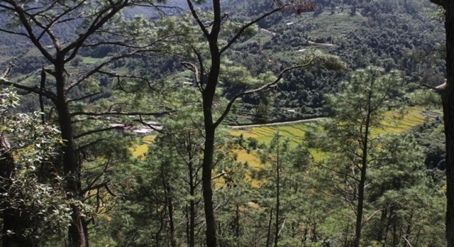
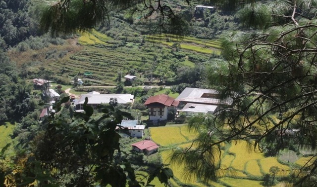
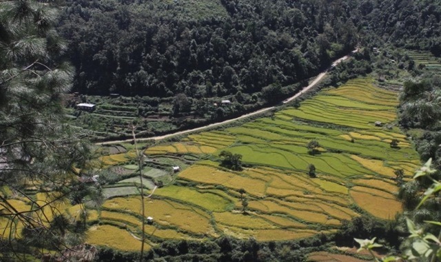
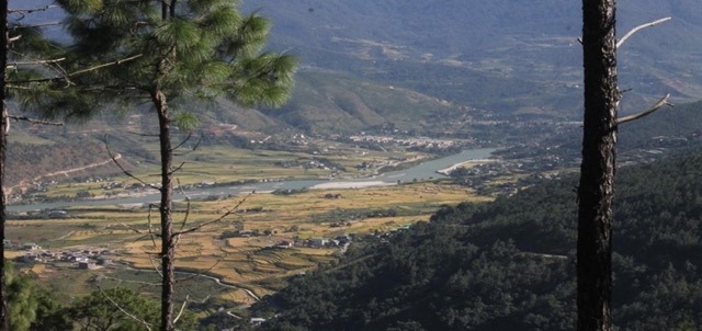
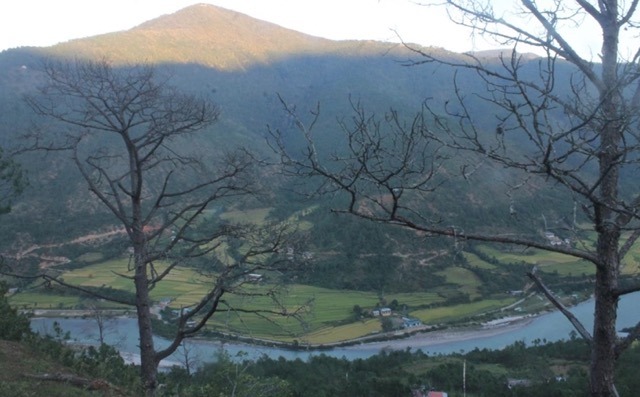
After having an early breakfast we started our journey at 8:30 am. The trail from there was gentle climb and the trail was much wider and well maintained after all it was our old capital. After walking for 2 hours we reached Toeb Chadana. A legend has it that Lam Drukpa Kuenleys arrow of destiny landed on the 11 stepped wooden ladder of Toeb Chandana house. Lam shot the arrow from Tibet after the spiritual deity Palden Lhamo appeared in his dreams and instructed him to seek his destiny in the south. This trail was unlike the day 1 trail since the trail mostly run on the side of the mountain and as we ascend we get to see the views of Sopsokha, Lobesa and the Bajo town. From there, we also get to see the view of the vast paddy fields of Punakha district. After walking for 2 and half hours to 3 hours from Toeb Chadana our route
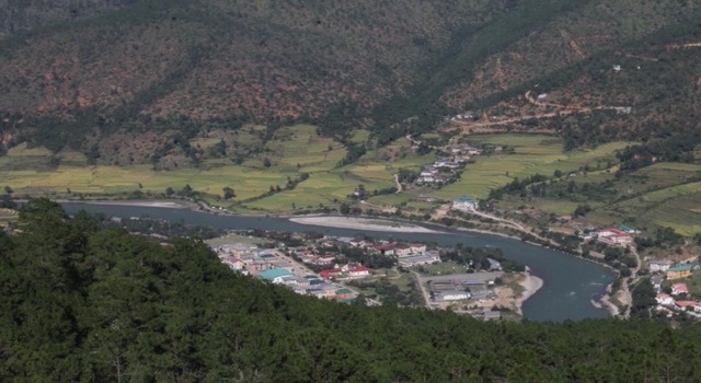
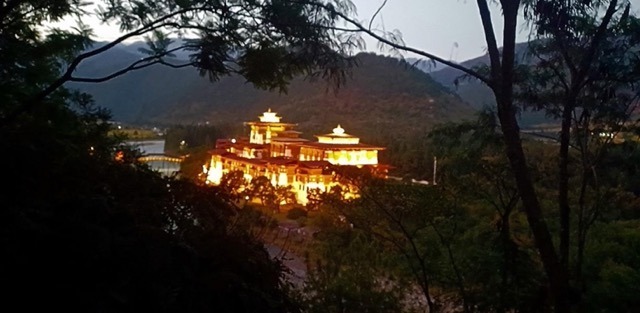
joins the road to Talo. There the place known as Sew Drangsa , an open space marked with prayers flags was the exact spot where monk bodies have to have their lunch during their journey. From there the trail towards Punakha Dzong is on the feeder road along the sides of Punatsangchu. We reached the Dzong around 4:45pm, in total we took around 7 to 8 hours to reach our destination.
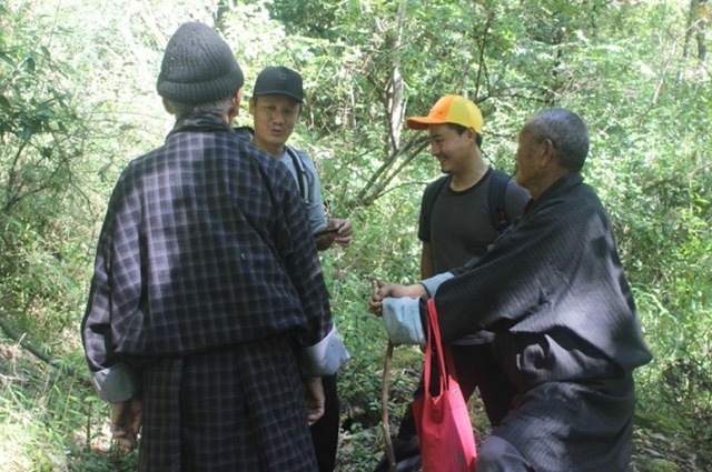
At the end of the trail was approaching, there was a sense of satisfaction on the faces of my team as a total of 22.5km was covered by our team within 2 days and 1 night through mountains, rivers, and valleys. Many old people and young people we met along the route appreciated the effort our team put to reviving this ancient trail and making this trek a huge success.

